Farsight Vision app trained to model area of stable communication between pilot and UAV
The user can select a drone model, mark the pilot’s position, and model signal coverage across the terrain
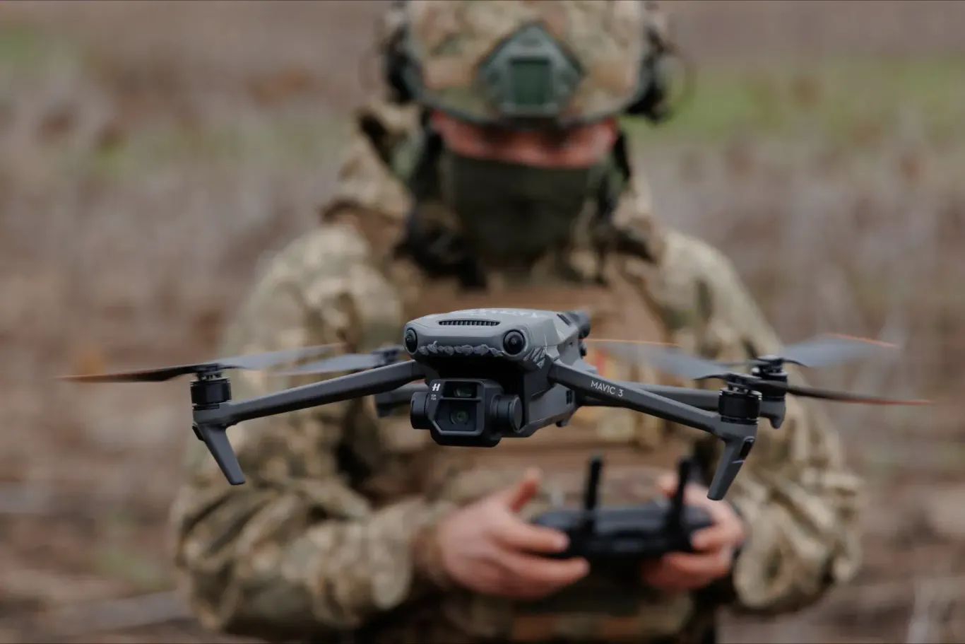
Photo: Ministry of Defence of Ukraine
Ukrainian-Estonian defence company Farsight Vision has updated its FSV App, adding the Link Coverage tool. It allows users to model the area of stable communication between the pilot’s controller and the UAV on a map before the flight begins. The developer shared the details of the update with Defender Media.
The function is based on open technical parameters published by the manufacturer. For now, it only works with DJI drones. The user can select a specific model, mark the pilot’s position, and model signal coverage across the terrain. This function is intended to improve flight planning and reduce the risk of signal loss during missions.
To test other UAVs, users can manually enter the communication system parameters, and the tool will calculate the coverage. In parallel, the company is inviting drone manufacturers to share the parameters of their communication systems with it for integration into the app.
The FSV App is a VR and Android application for modelling operations and supporting UAV/UGV navigation. It allows users to create routes that take into account obstacles and visibility zones, analyse radio signal propagation to optimise antenna placement and UAV routes, and more. The app syncs with the FSV platform, which has recently been updated with a small object detection feature. The neural network can recognise wheel tracks, EW antennas, narrow paths, and more.
Reading now
1
SkyFall officially unveils Thor Hammer mid-strike and announces 1,000+ km version
2

260+ vacancies in Ukrainian defence technology at BlueBird Tech, Sine Engineering, Buntar Aerospace and more
3
British-Ukrainian Occam Industries raises €3.8m. The funds will go towards scaling drone autonomy software
4

Terra Drone acquires 50% of Ukrainian Kurin Technologies for $3.5 million
5

Autonomous interceptor drones need radars to work. Why is there still a lack of them
By submitting this form, you give Defender Media consent to the processing of personal data.
Надсилаючи цю форму, ви надаєте Defender Media згоду на обробку персональних даних.

Latest news
1

Acoustic sensor developer Zvook raises investment from new Czech fund managed by DEPO Ventures
2

Denmark to hold first-ever Danish Defense Tech Week in four cities: what to expect
3
Forbes: Airlogix plans to raise $100m at a $2bn valuation
4
Tencore launches an ecosystem to bring together UGVs and components from several manufacturers
5