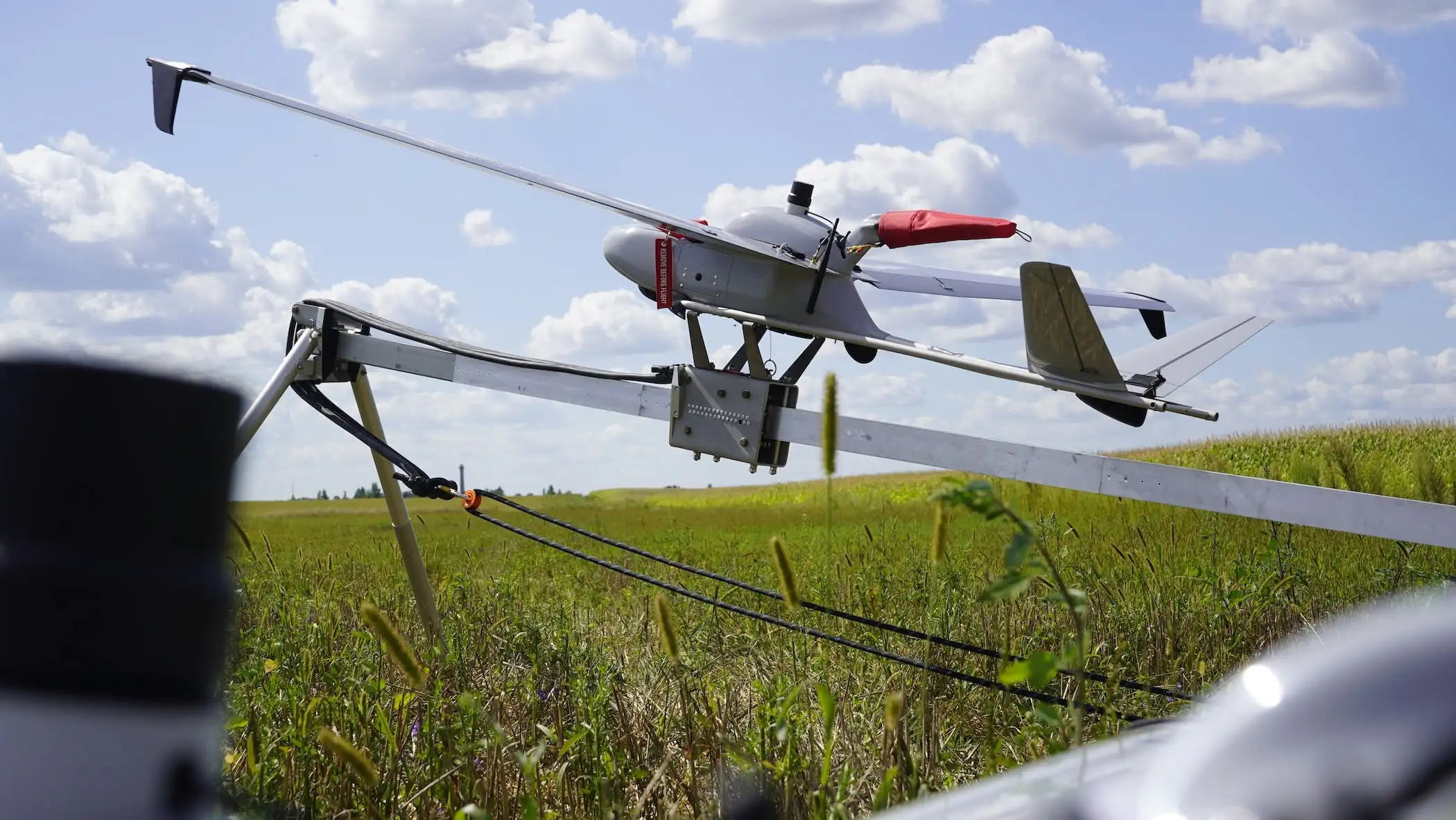
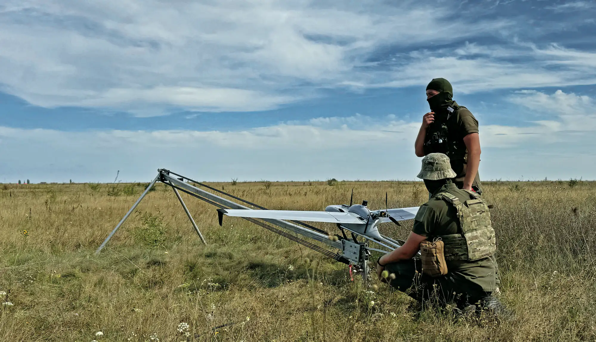
September 10, 2026August 12, 2026 4 min reading Innovation FLIRT CETUS: $25 per km² of quality intelligence In one sortie, the UAS takes 1,200–1,500 aerial photographs at an altitude of up to 1,500 m and covers an area of approximately 40 km²
August 10, 2026August 10, 2026 4 min reading Innovation FLIRT CETUS: one airframe – 102 confirmed missions “I’ll soon have a hundred sorties. This airframe is as reliable as an AK-47” – this is how an experienced pilot described FLIRT CETUS in the early days of the war
May 6, 2026May 7, 2026 2 min reading Innovation, State Farsight Vision’s neural model now can detect wheel tracks, EW antennas, narrow trails and other small objects The updated model can identify 30+ new object classes in images and orthophotos. Access is free for the Ukrainian military
May 1, 2026May 1, 2026 2 min reading Innovation Farsight Vision launched in-flight UAV video streaming capability The feature reduces the time from detection to decision-making and preserves reconnaissance data even if the drone is lost
April 9, 2026April 9, 2026 2 min reading Ecosystem Gyrolab Electronics unveils gyro-stabilised camera for long-range reconnaissance missions The system features a 90× zoom, enabling target identification at ranges exceeding 5 km
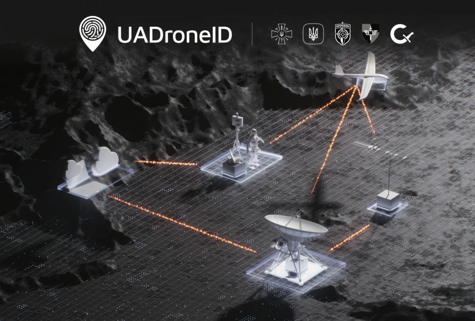
September 25, 2025December 1, 2025 2 min reading Ecosystem, Innovation Drone identification system UA DroneID reduces friendly fire incidents by 90% Fifteen manufacturers already integrated, several dozens more in progress